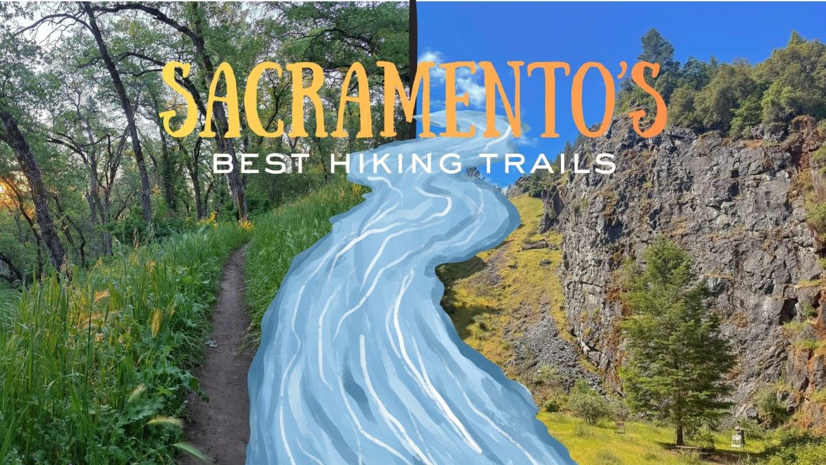


Spring is here in Sacramento, bringing longer days for residents and visitors alike to explore local trails by hiking, jogging and cycling.
Finding a good route for outdoor exercise can be a daunting task, both for seasoned athletes and novices alike. Whether you’re training for a race or just looking to reconvene with nature, here are some of the best trails and routes in the Sacramento area.
Jedediah Smith Memorial Trail – American River Parkway
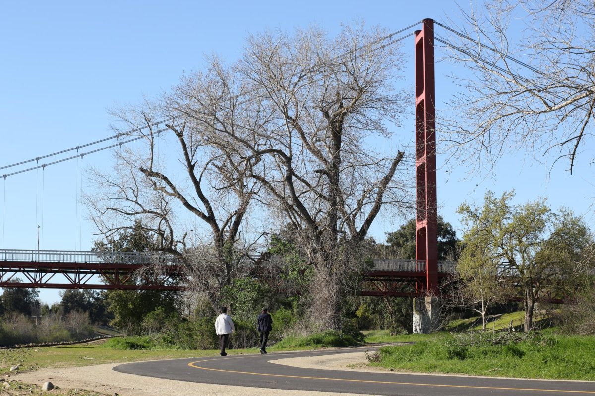
One of Sacramento’s longest and most scenic trail systems is the Jedediah Smith Memorial Trail, which runs parallel to the American River Trail for 32.3 miles.
Runners, walkers and cyclists can witness scenic riverfront views all throughout the trail system, either along paved walkways or designated footpaths. Sacramento State students can access the Jedediah Smith Trail system via the Guy West Bridge on the east side of campus.
For users’ convenience, there are restrooms and trail maps along the route. For those who commute to campus, parking is available at Sac State with a valid parking pass or in one of the free street parking zones in Campus Commons.
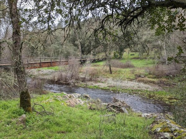
Middleridge Trail – Nimbus Flat State Recreation Area

Those looking for more varied terrain should venture to the Middleridge Trail, near the Nimbus Flat State Park in Folsom.
This 2.9-mile loop features rolling dirt hills and picturesque views of the American River Trail and surrounding greenery.
Nimbus Flat State Park is home to a diverse ecosystem of flora and fauna. Spring in Nimbus Flat brings wildflower blooms such as the California poppy and lupine, while native wildlife includes ground squirrels, gray foxes, rabbits and black-tailed deer.
For added mileage, trail users can explore the surrounding Folsom Lake State Recreational Area, featuring the Horse Shoe Mountain landmark.
Public restrooms and water fountains are available half a mile from the trailhead, at Phoenix Park. Visitors can park for free nearby at Phoenix Park or by the trailhead at the intersection of Main Ave and Sunset Ave.
RELATED: The 10 best outdoor activities for the spring
Ancil Hoffman Loop – Carmichael

A popular destination for outdoor spring celebrations, Ancil Hoffman Park offers a relatively flat three-mile loop encircling the Effie Yeaw Nature center, the Ancil Hoffman golf course and picnic areas.
For those looking to experience more of the park’s amenities, the Effie Yeaw Nature Center is open to the public Tuesday through Sunday and features a variety of native wildlife exhibits.
Visitors can park in one of several parking lots along Tarshes Drive, which runs along the perimeter of the golf course.
William Land Park Loop – William Land Regional Park
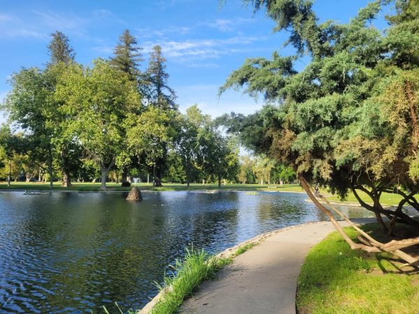
South Sacramento’s Land Park area is a beloved destination for residents throughout the Sacramento region, with a variety of attractions spanning out from William Land Regional Park.
Land Park offers something enticing for visitors of all ages: the Duck Lake Lotus Garden, Fairytale Town amusement park and the Sacramento Zoo.
The main trail is a flat 2.3 mile loop that spans the perimeter of William Land Park, but trail users can add distance by exploring the various walkways within the park grounds.
Paid parking is available at the lots near Fairytale Town and William Land Golf Course, or visitors can find free street parking in the surrounding residential neighborhoods. Amenities such as water fountains and restrooms are free for the public.
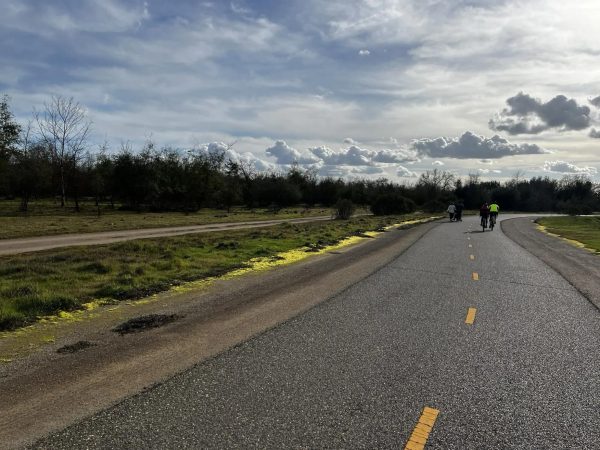
Browns Ravine South Shore Trail – Folsom Lake State Recreation Area
More experienced hikers or cyclists will appreciate the rocky, rolling hills of the Browns Ravine South Shore Trail, a 14.1 mile route that runs along the southeast end of Folsom Lake and boasts a total elevation gain of 1,243 feet.
Although the trail is mostly soft dirt, there are rock piles and ravine crossings to look out for along the way. Outdoors enthusiasts will enjoy elevated views of Folsom Lake and a wide variety of local wildlife as they traverse Browns Ravine.
Visitors can enter and park via Green Valley Rd, where public parking is available for $12 a day. Public restrooms are also available near the main parking area.
The trails of Sacramento County boast wide ecological diversity and scenic views for all who choose to venture out. From nature novices to experienced explorers, there is something for everyone to love in the outdoors.